EM34-3
from Geonics
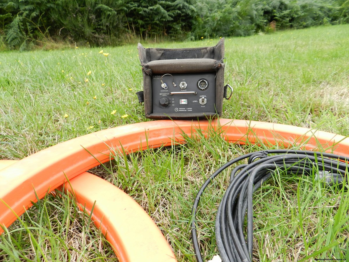
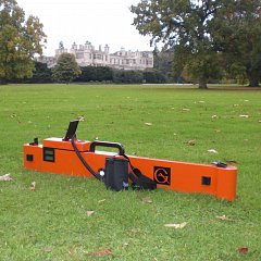
The EM34-3 is a fast, simple to operate, cost-effective instrument for the engineering geophysicist, geologist and hydrogeologist alike and has been particularly successful for mapping deeper groundwater contaminant plumes and for groundwater exploration.

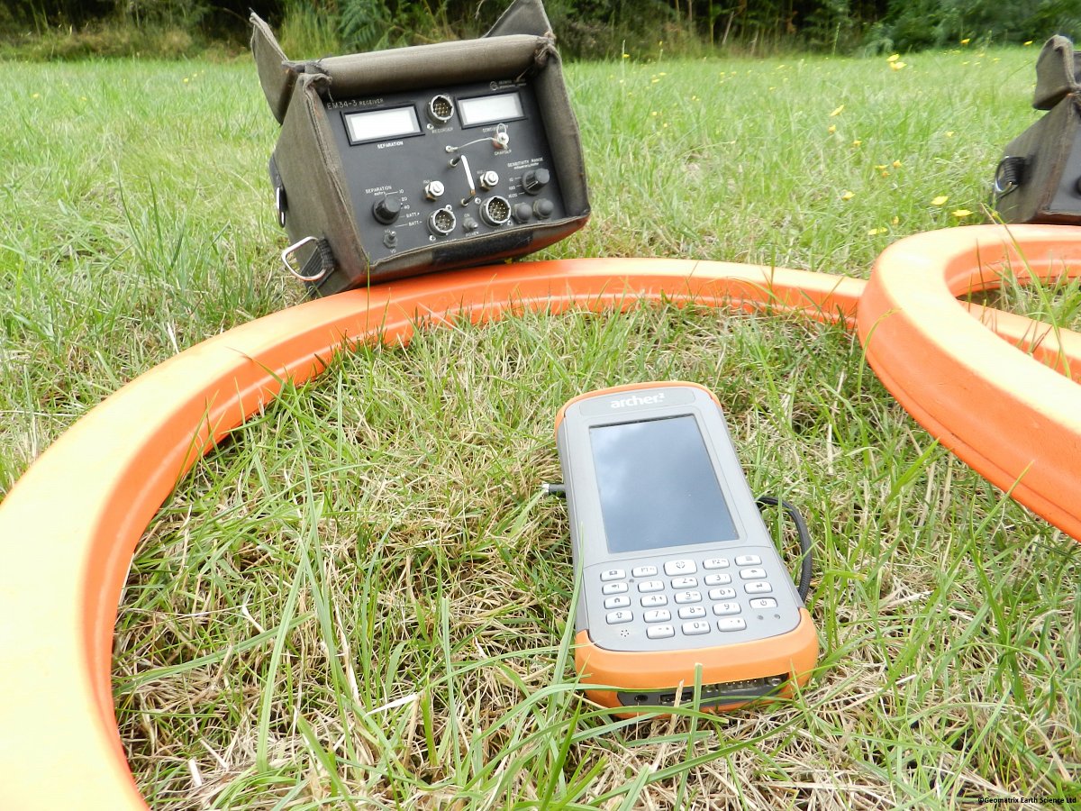
Using the same patented inductive method as the EM31MK2, the EM34-3 uses 3 inter-coil spacings to give variable depths of exploration down to 60 meters. With the 3 spacings and 2 dipole modes (horizontal coplanar as shown and vertical), vertical electrical soundings can be obtained. In the vertical dipole (horizontal coplanar) mode the EM34-3 is very sensitive to vertical geological anomalies and is widely used for groundwater exploration in fractured, faulted and weathered bedrock zones. In regions of particularly high cultural and atmospheric noise the higher powered EM34-3XL improves the signal to noise ratio by a factor of 10 at the 40 m spacing and by 4 at the 10 m and 20 m spacing.
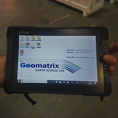
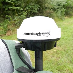
The EM34-3 comes complete with an output connector for digital data logging to a Messa 2 ultra-rugged Windows 10 tablet. The data acquisition software supplied by Geonics Ltd spatially locates each measurement with a GPS position. Due to the inter coil spacing required to prospect to 60m modern GPS enabled data loggers are ideally suited for use with the EM34-3.
Product Dimensions
| Physical | Dimensions (L x W x H) | Weight |
|---|---|---|
| EM34-3 (instrument only) | 5cm x 63cm x 63cm | 20.5kg (total system) |
Technical Specifications
| Measured Quantities: | Apparent conductivity in millisiemens per metre (mS/m). |
|---|---|
| Primary Field Source: | Self-contained dipole transmitter. |
| Sensor: | Self-contained dipole receiver. |
| Reference Cable: | Lightweight, 2 wire shielded cable. |
| Inter-coil Spacing Operating Frequency: | 10m at 6.4 kHz 20m at 1.6 kHz 40m at 0.4 kHz |
| Power Supply: | Transmitter: 8 disposable or rechargeable 'D' cells Receiver: 8 disposable or rechargeable 'C' cells |
| Conductivity Ranges: | 10, 100, 1000 mS/m. |
| Measurement Resolution: | +/- 0.1% of full scale. |
| Measurement Accuracy: | +/- 5% at 20 mS/m. |
| Noise Levels: | 0.2 mS/m (can be greater in regions of high power line interference). |
Shipping
| Contents | Dimensions (L x W x H) | Weight |
|---|---|---|
|
Case1
Complete EM34-3 system |
75cm x 75cm x 27.5cm | 43kg |
Data Sheet
- EM34-3 Datasheet (PDF)
Literature
- TN-5- Electrical Conductivity of Soils and Rocks (PDF 7MB)
- TN-6- Conductivity at low induction numbers (PDF 4MB)
Checklists
- Checklist for Daily Instrument Checks (PDF 133KB)
- Checklist for Data Storage and Transfer (PDF 249KB)
- Checklist for Field Editing (PDF 244KB)
- Checklist for GPS Operating Procedures (PDF 231KB)
- Checklist for Initial Instrument Tests (PDF 228KB)
- Checklist for Instrument Storage (PDF 138KB)