Loupe
from Loupe Geophysics
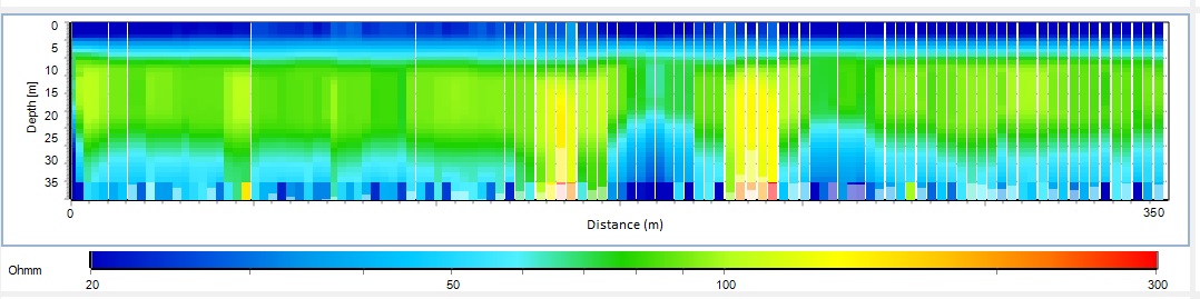
The Loupe system is a new portable TEM instrument, which takes advantage of a wide range of developments in electronics and signal processing. It is designed for safe and productive operation in a range of near-surface conductivity-mapping applications. It is a fully time-domain EM system, designed to generate high quality, high spatial resolution EM data, enabling mapping of conductivity variations from the near-surface to around 20-30 metres depth penetration (depending on the ground electrical properties). Loupe, unlike other time domain EM instruments, is designed to be used in continuous operation while the operators are walking. The backpacks have been designed for safe use by field-fit operators for day long data collection.

The receiver records full time-series data and there are various real time processing and visualisation options. The system has real-time signal processing that is designed to eliminate most noise sources and generate high quality TEM data at urban / industrial sites that have significant EM interference. The signal processing includes functions for stacking, filtering VLF and power line fields, windowing and removing motion noise.
Features
- A fully time-domain EM system, designed to give high quality, high spatial resolution EM data from the near-surface
- Designed to be used while walking
- A range of transmitter frequencies and sampling options
- Full time-series data storage, processing and visualisation abilities
- Designed to generate high quality TEM data at urban / industrial sites that have significant EM interference
- A handheld PDA is used to communicate with the Loupe backpack via WiFi link using web-based software. A variety of PDAs or smartphones can be used.
Technical Specifications
| Configuration: | Slingram -10m transmitter to receiver offset |
|---|---|
| Channels: | 3 component receiver coil with 100kHz |
| Receiver coils: | 200m²active area per component |
| Receiver sampling: | 500k samples per second at 24 bit |
| No time gates: | 23 |
| Time gates: | 0.00198,0.00397,0.00595,0.00794,0.00992,0.01190,0.01786,0.02381,0.03175,0.04365,0.05754,0.07738,0.10317,0.13690,0.18254,0.24405,0.32341,0.43056,0.57341,0.76389,1.01587,1.35119,1.79960,2.39286,3.18254,4.23214,5.63095,7.48810,9.96032,13.24603,17.61905,23.43254,31.16667,41.45238,55.13095,73.32540,97.52183,129.70437,172.50794,229.43452,305.14881ms |
| Transmitter coil: | 13 multi turn loop |
| Transmitter moment: | Aprox 100Atm² |
| Waveform: | Square wave with 50% duty cycle |
| Switch off time: | 8usec |
| Cycle rate: | 75Hz - 3000Hz (mains frequency dependent) |
| VLF: | Enabled |
| Power: | Two (hot swappable) 14V Li-Ion batteries |
| GNSS: | In built RTK GPS |
| Radio link: | In built 900MHz radio for base station link |
| Memory: | 400GB internal memory |
| Communication: | Wifi Link |
| User interface: | Web portal user interface. Accessible from any web browser. |
Shipping
| Contents | Dimensions (L x W x H) | Weight |
|---|---|---|
|
Case 1
Transmitter, batteries and tablet |
92 x 68 x 52 | 39 |
|
Case 2
Receiver and reference cables |
92 x 57 x 46 | 35 |
Shipping Notes:
Case 1 has Li-Ion Batteries contained in Equipment